
McCandless Previous Resident Source Years
The backward trail starts with a present parcel and moves through the source that fits the era. County property and land records establish a recorded title trail. Regional directories, released census schedules, maps, and local historical collections can add household or place context. None of them is a complete list of everyone who lived at an address. Their value is in the agreement between a date, a name, a parcel or legal description, and the specific record that contains it.
| Source | Years it covers | Where held | What it shows |
|---|---|---|---|
| Recorder historical deed special search | 1792-1857 | County legacy land-record site | Historical deeds, chattel mortgages, and feme-sol trader records |
| State Archives deed and grantor/grantee records | Deeds 1788-1871; indexes 1788-1904 | Pennsylvania State Archives and many FamilySearch images | Early title and party-index bridge to deed books |
| County current land index | 1986-current | Allegheny Official Record Search and legacy land site | Party, OCR, document number, date, and parcel routes |
| County imaged deeds | 1976-current | Legacy county land-record site | Deed-image route, with stated copy terms |
| Historic Pittsburgh directories | 1815-1945 collection; online city run 1837-1930 with gaps | Historic Pittsburgh | Regional name-and-address lead, after geographic confirmation |
| Carnegie directory microfilm | 1813-1975 in stated ranges and gaps | Carnegie Library Pennsylvania Department | Later directory fallback; confirm McCandless scope |
| Federal census | Released after the 72-year rule | National Archives and authorized library databases | Household composition at the census date |
| Town permit/archive reports | Current online archive; full retrospective run not verified | Town Archive and Right-to-Know channel | Construction or planning chronology at a known address |
For a recent transfer, start with the County property card and deed trail. For an early land question, start with the historic recorder or State Archives routes. For a household question, use a directory only when its edition actually covers the place, then compare it with released census evidence. A permit report dates an event at a property; it does not prove a full household.
Note: The online dates are access boundaries, not proof that every earlier McCandless record disappeared or cannot be requested.
Save the McCandless Parcel ID
Before looking for previous residents, search the Allegheny County Real Estate Portal by House Number and Street Name, omitting the street suffix and choosing McCandless as Municipality when it helps. The public search returns Parcel ID, Owner Name, Address, and Municipality. Save the parcel identifier exactly, along with the current situs address, deed clues, block or lot, subdivision wording, and the owner and tax mailing fields as separate values.
That separation is important. Allegheny County distinguishes the physical property location from the owner mailing address and tax-bill mailing address. Those addresses can differ. A parcel card identifies an owner of record and may lead to a recorded correspondence address, but it does not prove that the owner lived there or name all occupants. The owner-history view can also be incomplete, so a deed index is the correct follow-up for a fuller transfer trail.
Parcel ID, block/lot, and legal description are more durable than an old street spelling. They are the hand-off fields for assessment, tax, GIS, planning, plat, and recorder research. For current address-by-address work before moving backward, use the McCandless By Street directory route.
McCandless Previous Resident Time Gaps
Allegheny’s land-record systems have useful but noncontinuous online boundaries. The legacy county page describes a free document index from 1986-current and imaged deeds from 1976-current. A separate historical search provides free records for 1792-1857. Between those routes, the State Archives lists deed volumes from 1788-1871 and grantor/grantee indexes from 1788-1904. The county also identifies property history cards before 1999, historic plat maps, and counter or copy channels.
Do not fill the apparent 1858-1975 web gap with an assumption. Ask the Division of Real Estate about a specific historical copy, property history card, historic plat map, or counter access. The land-record office gives 412-350-4636, option 2, for questions. Its legacy page says index searches are free, displays casual-user image pricing, and advises trying spelling variations. A recorder result is a lead that still needs the document, roles, dates, and legal description checked.
Allegheny’s advanced Official Record Search provides the grantor, grantee, date, document, book/page, OCR, and parcel-ID controls used for a documented address trail.
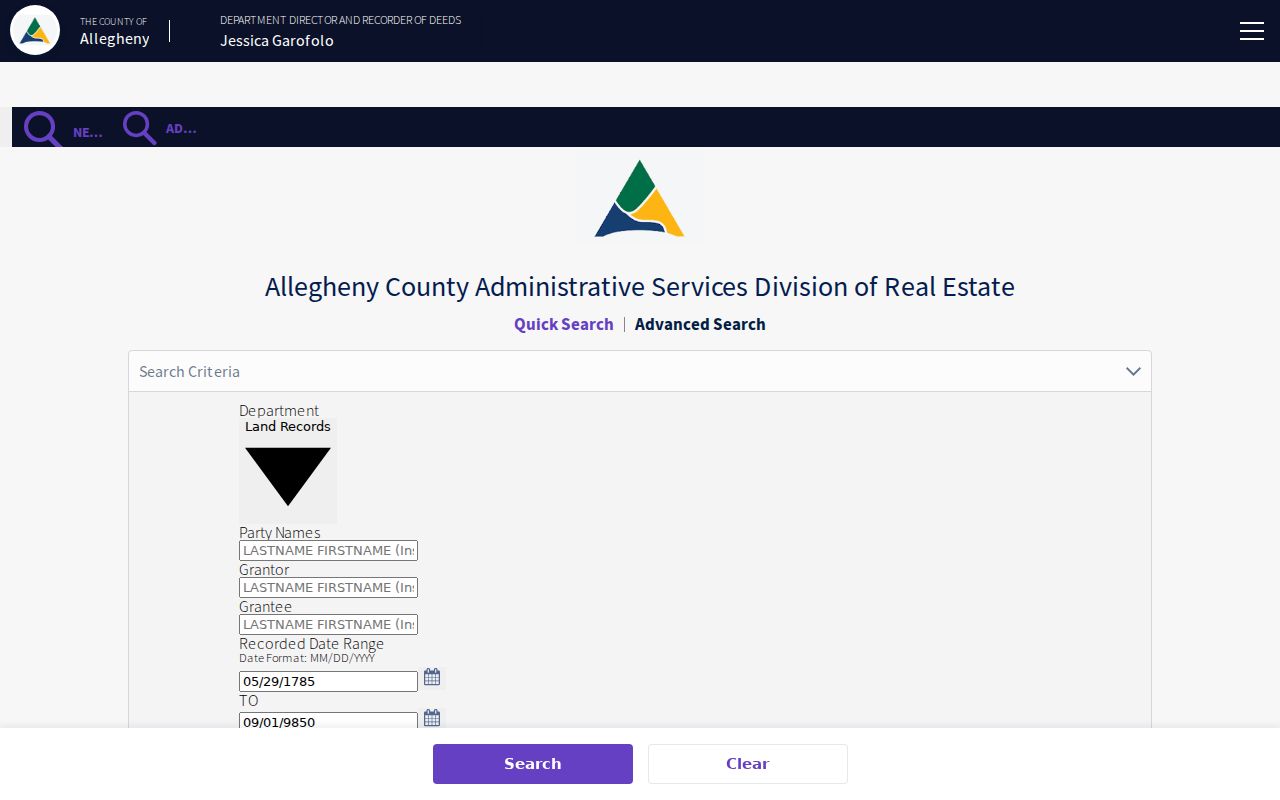
The controls help narrow a likely transfer, but an OCR hit or a party-name hit does not establish that someone lived at the property. Read the returned document in its record context.
Trace McCandless Previous Owners
A deed chain follows transfers backward from a documented current record. Start with the property card, then locate the current owner’s purchase deed in the Recorder’s index. The seller on that deed becomes the person whose earlier purchase is sought as grantee. At each step, preserve the recorded date, document number or book/page, party roles, parcel ID, legal description, subdivision, and image status. Street addresses can be missing or change over time; a legal description or lot/block can keep the chain on the correct land.
- Record the current parcel ID, owner of record, sale clue, and legal description from the property card.
- Search the current owner in the Official Record Search and identify the purchase document by date, party role, and parcel or legal terms.
- Read the seller as a grantor in that transfer, then search that seller as grantee to find the earlier acquisition.
- Repeat one documented transfer at a time, checking the parcel, block/lot, subdivision, or legal description at each change.
- When online coverage ends, request the particular historic card, map, deed, or archival index rather than assuming the chain has ended.
- Grantor
- The party who conveys an interest in a recorded land document.
- Grantee
- The party who receives that interest; in a prior purchase search, this can point to the earlier acquisition.
- Chain of title
- The documented sequence of transfers for the same property or legal description.
- Legal description
- Lot, block, subdivision, or other land language that can stay usable when an address changes.
Previous residents and previous owners are not always the same people. A land transfer proves a recorded transaction. Household evidence requires a separate, dated source such as a confirmed directory edition, released census schedule, estate paper, obituary route, or locally held family material.
McCandless Previous Address Maps
Maps supply the bridge when a historic deed uses a lot, farm, rail, or subdivision description instead of a familiar street number. Northland’s Town of McCandless collection links an 1850 county map, 1914 Warrantee Atlas plate 35, 1908 Sewickley quadrangle, 1940 Hopkins plates 27-30, and the October 1947 zoning map. Historic Pittsburgh’s G. M. Hopkins collection spans 1872-1940, with a 1906 northern-vicinity volume and a 1940 northwestern-vicinity volume relevant to the area.
Compare the current parcel’s block/lot or legal description with the historic plate before declaring that two address forms represent the same place. Maps supply geography, not a title decision. The deed, recorded plan, or current parcel record should confirm the connection. No verified McCandless-specific Sanborn fire-insurance-map run was found, so use these documented local maps instead of claiming a Sanborn series.
Northland’s McCandless local-history page gathers the maps, plats, articles, and historical links useful for a prior-address check.
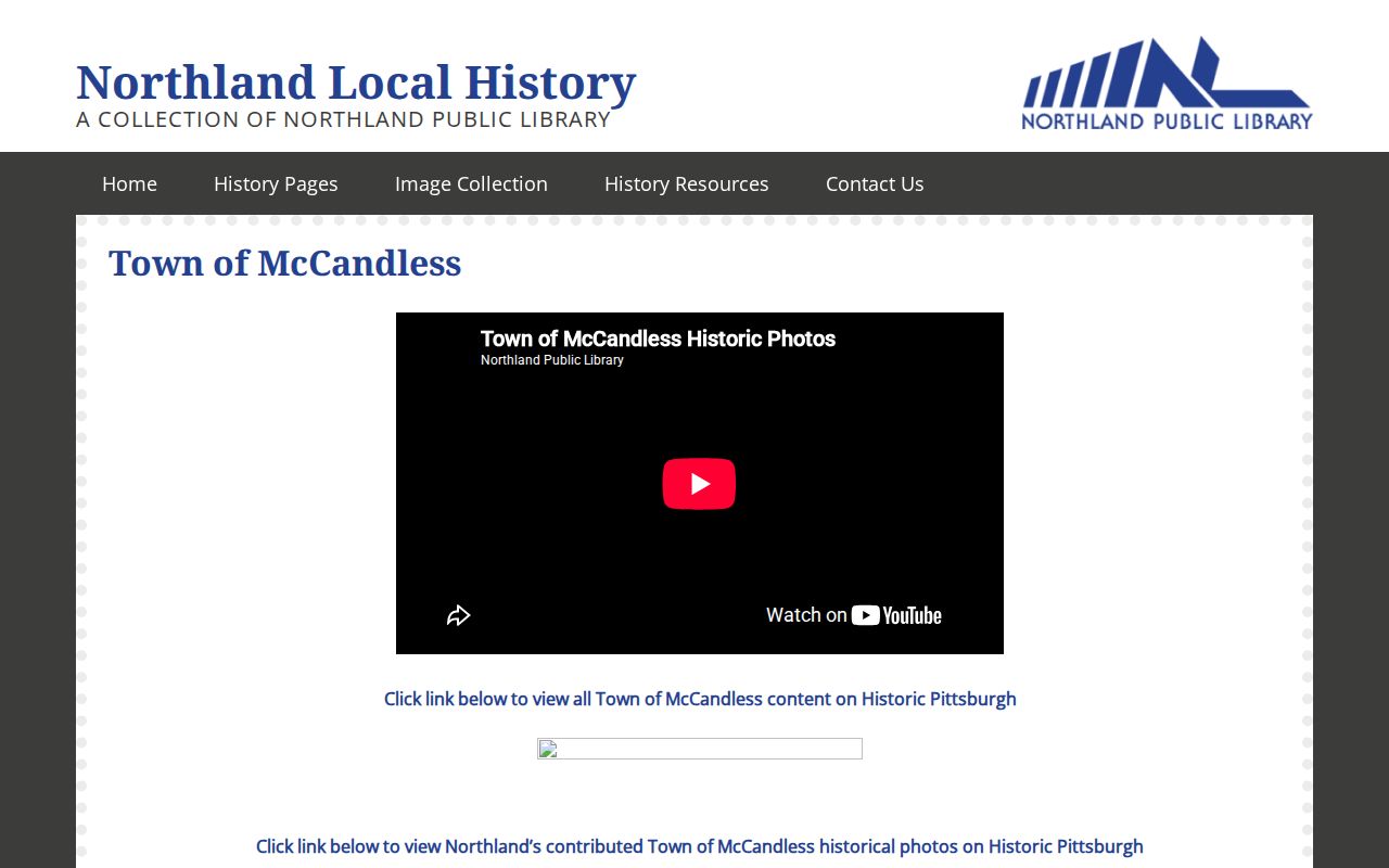
The page complements the county record trail. It gives a researcher a local map sequence before a question is sent to Northland, the Heritage Center, Carnegie, Heinz, or the Recorder.
Note: A map can support address continuity, but a recorded deed or plan remains the stronger evidence of a property boundary.
McCandless Permit Trail for Past Residents
Town records can date work or planning at a McCandless address. The Town Archive publishes monthly Permit Reports and searchable categories that include permit reports, calls for service, crime reports, Right to Know material, Town Criers, and audits. The Agenda Center searches time period, word or phrase, and category, including Town Council, Planning Commission, and Zoning Hearing Board. A permit, hearing, or plan can establish a project date or address context without functioning as a list of past residents.
For a narrow zoning question, the Town’s verification form asks for property address or Parcel ID and states a one-to-two-week processing time for classification and known-use compliance. It does not replace access to an earlier permit or occupancy file. For a particular existing municipal record that is not posted, send a written request through the Town’s Right-to-Know process. The Town accepts requests in person or by mail, email, fax, or in-person delivery, and its general administration phone is 412-364-0616.
The Town says a written RTKL request preserves the appeal process, while a verbal inquiry can help identify a record but does not preserve that remedy. Its posted process is a fallback for a known permit report, older agenda, or planning file. Code-enforcement complaints and investigative material may be restricted or redacted, so they are not a substitute for a house-history record.
Past McCandless Households: Files and Census
After the title trail identifies a date and place, turn to sources that can show a household at a particular time. Historic Pittsburgh’s directories are regional and must be checked for geographic inclusion. Carnegie Library’s directory microfilm is the later shelf fallback. A released federal census schedule can add household composition at its census date. Carnegie’s obituary and death-notice request service has stated searchable windows of 1786-1913, 1963-1998, and 2001-present, while the Wills/Orphans’ Court route can identify estate parties as filed.
The practical flow is parcel and legal description to deed chain, then map to historic address form, then a confirmed regional directory or census year, followed by a death notice or estate file when the timeline reaches an endpoint. The historical collections themselves are described on the McCandless city directories page; they should not be read as a confirmed town-wide address index.
- Match the parcel or legal description to a historic map before treating an older address form as the same property.
- Choose only a directory edition whose stated geography can include McCandless Township, then save its year and page.
- Pair that year with the closest released census schedule and compare names, place, and household timing.
- Use an obituary, death notice, or estate record as a dated endpoint rather than guessing why a name leaves the trail.
For a local escalation, Northland is a FamilySearch Affiliate Library and keeps maps, clippings, and historical material. The Town Heritage Center has school, community, family, and house-history records. Provide staff with current and historic street spellings, parcel ID or block/lot, approximate change dates, an owner surname/year, and a map plate reference. That focused packet helps distinguish one property from another on the same road.
McCandless Previous Names and Postal Labels
Older searches should try McCandless Township, Town of McCandless, and Pine Township, the pre-formation context. The 1975 home-rule change is a naming boundary, not proof that the land changed. Postal locality is another trap: a McCandless address may use Gibsonia, Wexford, Allison Park, or Pittsburgh. The county parcel municipality, code 927, and the legal description are better anchors than the postal city alone.
Those variants explain why an old record can seem to disappear from a simple address search. Test one form at a time against the map and parcel, record the evidence, and leave an unverified match as a lead. A careful past-residents trail remains more useful than a fast but uncertain name match.